Showing posts with label urban. Show all posts

Wednesday, December 1, 2010

Cityshot whichever


Haven't completely abandoned the cityshot thing, it's just hard to stick with, and I have been somewhat unmotivated by photography for a while. I'll try and get better at sticking with regularly sharing some of my own original urban photography.

This is overlooking Michigan Avenue from the Intercontinental Hotel on the Magnificent Mile.

Tuesday, August 17, 2010

Welcome to St Louis

I was asked the other week by the owner of urbanstl.com to write a blog post for them, so I thought I'd might as well include it on here too. This is going to be written from the standpoint of a few things that struck me as odd about my recent urban safari through St Louis as well as some things they're doing very well that my city of OKC could learn from. I think the positive outweighs the negative clearly, so OKC readers should listen up.

DOWNTOWN


I think downtown St Louis is interesting because of how it lacks activity for the complete opposite reasons that many other downtowns are lacking activity. Most are said to be "dead after 5." Downtown St Louis is largely "dead until 5." I think it's a good problem to have, because what can happen after 5 in downtown is a lot more interesting than what can happen after 5. I think the convention center seems to be well-done and well-integrated with Washington Avenue. Wash Ave is the main loft drag through downtown, and is lined with this impeccable streetwall that would be the envy of any city. The lofts go for about 1.5-2 miles or so and I knew I had to see it because I've heard it called one of America's best urban revitalization success stories that actually clearly differentiate urban revitalization from urban renewal. The CityGarden has been a successful urban park that has injected vitality into the downtown core, but it has yet to have been conveyed into vitality for the surrounding environs in the way that Millennium Park has caused land values along Michigan Ave to skyrocket.

The culprit? There appears to be many culprits. The most obvious to me seemed to be the lack of shade. An interesting alternative was brought up in discussion on the urbanstl.com forum that awnings should be used instead of shade trees, because of how it would compliment the existing building stock downtown. There seems to be a large local consensus that downtown St Louis has too much structured parking as well, with the idea being that downtown has become auto-centric. I don't think too much structured parking can be a bad thing, I just think it poses a challenge for downtown to address storefronts. Parking garages have a tendency to be blank walls or otherwise worse facades that inflict darkness on the surrounding environs. Parking garages are buildings none the less and should be looked at the same as any building and they may need city action to encourage renovations that make the street level more attractive and in some way interactive (shops, restaurants, etc). I liked this parking garage I saw in Streeterville as a good example of how a parking garage doesn't have to look like a parking garage.

But to sum up downtown, the bottom line is it was completely dead on a Friday at 4 pm at a time that most other downtowns would be jammed with people, even if that is the only time. There were no lawyers walking to the courthouse. No business men walking to a meeting. There were no residents out walking dogs. There were no people getting off work early. Downtown was totally void of typical signs of (business) life that still go on in corporate-dominated downtowns. Perhaps the underlying reason for slow daytime activity is lingering effects from job losses? Which, would defy the urban planner's playbook of cause and effect..

NEIGHBORHOODS

Neighborhoods are the pride of St Louis, which clearly is a city of neighborhoods. Virtually no other city that I have been to has done such a good job with neighborhood revitalization and restoration and preservation as St Louis--and even throughout the white flight, which this city has been hit harder by than most, has managed to preserve the ones that matter most, and that alone is worth major kudos. St Louis also ranks highly as one of the cities with the youngest residents living in the oldest buildings (interesting study I came across). What does that mean? It means that residents live an interesting and unique urban lifestyle that defines St Louis and sets it apart. Many neighborhoods have focal points which are usually a park (i.e., Lafayette Sq) or a main street drag (i.e., Cherokee St). Most all neighborhoods are well demarcated with entrances, gateways/archways, and especially street banners.

CONNECTIONS

Well, I said it is a city of neighborhoods, not a city of streets, or even connected neighborhoods. The very neighborhoods that are the strong point of this city all feel very isolated and disconnected for the most part. There is also a strong divide between the south side and the central corridor, split by an unsightly industrial valley. Granted, it's a valley with some great views--it's also a valley with major untapped potential for urban revitalization. I think it should be the city's #1 priority, because it would make STL into a more complete city in my opinion--it would merge the central corridor and south side into one, and better connections to downtown would also go a long ways toward fixing downtown's dearth of activity. The proposed $27 million Grand Avenue bridge will go a long way toward strengthening connections. Other key corridors represent other great opportunities. If the city can focus on gentrification and dense development along these corridors the battle will be won.

One interesting point: St Louis is one of the very many cities that seem to be following the lead of cities getting rid of highways that pose barriers cutting downtown off from other parts of the city. Can someone explain to me why OKC is replacing the Crosstown Expressway land bridge, an elevated highway that people could walk under if it weren't for vagrants and the occasional falling concrete sections, with what will for the most part be an at-grade superwide freeway just 4 blocks south of the current alignment at a cost of, well, nobody has seen the latest cost surge. But you get the point. I think St Louis has a winner with actually completely removing a highway from blocking downtown to the Mississippi River. This will strengthen connections between downtown and riverside attractions such as casinos, the Laclede's Landing entertainment district (kind of a smaller version of Bricktown), and the Gateway Arch. I am disappointed with the the SOM-Hargreaves proposal to redesign the Arch grounds with two lakes and some open space--I think that it would be a great opportunity to try and lure some high-profile development around the edges of it, as long as it retains a strip of open space for viewing it down the middle.

P.S. Anyone from St Louis reading this, keep in mind I already realize that those blue/red map boundaries are probably off. Just a rough sketch showing the divide, I actually have no idea where the appropriate cut off between the central corridor and north side is, or other things.

STREETSCAPES

The urban part of St Louis, with all its grit and old buildings and streets, has some fabulous streetscapes. These are streetscapes on the cheap in my opinion. A lot of the street furniture, such as painted planters placed on street corners to block the crosswalks from cars cutting it too close, look like something you'd see at Oak Cliff's makeshift complete street. The planters lining Grand Blvd couldn't have been expensive and look like they were painted by kids in the community (they all have little hand-painted eyes on them), kind of like the decorative construction fence around the Devon Tower site with paintings from OCPS schoolkids. The planters apparently serve the role of "bump-outs" -- where the sidewalk ledge is extended at street corners sort of like a puzzle piece to make drivers take corners going slower as well as to shorten the distance at crosswalks. Virtually all the roads going through the inner city are typically made up of a sidewalk, a parking lane, and a bike lane--all three things OKC lacks. Imagine street parking on a major artery, whadaya nuts? There are a lot of streetscapes that are in desperate need of an overhaul, such as Cherokee Street which had a lot of weeds growing up through the sidewalks--but the basic form of a complete street is there all over the city, and that is what matters. It shows that you don't need a flashy $20 million/mile public streetscape project with public art in the pavement and standing up every 100 feet or so in order to have streets intended for people as well as cars. The basics are more important than these urban "bells and whistles" we prefer to focus on here in OKC.

Tuesday, August 10, 2010

A City of Neighborhoods


I wanted to do an in-depth look at the overall inner city, which for all intents and purposes, means the north side, so here it is. The inner north side is where OKC is at its best--where OKC has the potential to step it up a notch and evolve into a city of neighborhoods; a city for people; a city with an emphasis on sustainable, healthy lifestyles. If we strengthen the inner north side we can make the most sizable dent in all of OKC's sprawl symptons--traffic, pollution, obesity, brain drain, and the pandemic of low-density places not worth caring about long-term. Ask yourself how anything being built in Moore, just to name a suburb, creates any kind of lasting legacy that is worth maintaining 100 years from now. For the answer, look no further than Crossroads Mall. Then look at the inner north side, which has a legacy that consists of beautiful landmark churches, beautiful grandiose neighborhoods, tree-lined boulevards (sometimes), great old theatre buildings, lively nightlife strips, a plethora of arts and cultural assets, and much more. We have to refocus the bulk of our civic attention on this part of town, where our urban treasures are located. It's time to restore those urban treasures and capitalize on the potential laying in the inner north side.

To assess where these neighborhoods are and how to improve this part of town, I've done a number of assessments. Essentially there are three things that we need to focus on: Corridors, neighborhoods, and landmarks. In terms of corridors, the goal is to identify which corridors strategically connect different neighborhoods. An obvious example is 23rd Street, which borders a lot of the prominent neighborhoods--despite that the Paseo is the only neighborhood bordering it that has prominent placemarking signs. The goal with neighborhoods is to identify which neighborhoods need help, which to promote, which to designate as preservation areas, which to encourage infill and new construction, and so on. The goal with landmarks should be to identify what corridors and neighborhoods are densest in terms of architectural heritage, to identify where the potential exists to tie-in with architectural landmarks, and also to identify important pieces of our architectural heritage that are in need of rehabilitation. An example of this is the Skirvin Hotel, which the city realized was important and got proactive in pursuing its rehabilitation, and look at it today. An example of a landmark that I identified that could use some help is the abandoned May Theatre at 16th and May--an old historic theater similar to the Tower or Plaza that lays abandoned. Despite being surrounded by markedly improved neighborhoods, the May Avenue corridor has remained nothing too special. That should change, and identifying landmarks such as the May Theatre is a good way for the city to actively pursue that.

IMPORTANCE OF PLACEMARKING
The importance of placemarking is that if people do not know what neighborhood they are in, they won't care what neighborhood they're in. They won't even be curious about it. Oklahoma City's neighborhoods are extremely lacking in demarcation, which impairs the inner north side's sense of identity. In city's that are neighborhood-strong, you see a lot more focus put on the identity of the neighborhoods. In OKC, it's not uncommon to see a brick entrance to a neighborhood or to see street banners within the neighborhood, but other cities go a lot further--and these placemarking elements are notably absent from the main corridors--Classen, Western, 23rd, Penn, May, 36th, etc. In Tulsa you will see a colorful neighborhood logo stuck right underneath the street signs along any major corridor. These create a strong awareness of the neighborhoods you're passing by. In St. Louis, the main corridors through the city are literally a celebration of the neighborhoods you're cutting through. It's not at all uncommon to see large stone archways, wrought-iron gates, and other awesome neighborhood entrance markers.


Not to bring up an extremely controversial issue, but I can't think of a more appropriate comparison--conservative lawmakers are pushing for legislation requiring pregnant women to at least name their child before they get an abortion, the thinking being that naming the little human being growing inside of you will endear it toward you. I know that was a horrible thing to bring up, but I think it demonstrates the power a name can have. For a while, OCU also had their PR campaign promoting their small student body as a place where "you're a name, not a number." When you name something, or make others aware of something's name, it has more value and meaning. I'd imagine that Heritage Hills is a lot more interesting to someone now that it's history and identity has been brought to the forefront of its physical appearance, and it's not just a cluster of homes most people can't afford, but it becomes a part of the city's history and the city's identity and something that everyone can feel like they have a vested interest in, therefor everyone will want the best for Heritage Hills.

On a side note (as a joke), perhaps we can motivate some of these neighborhoods to get their act together and start meeting city code by placing signs at all the entrances that say "You're now leaving OKC, and now entering the 3rd World Country known as Classen-Ten-Penndjibouti."


Here I have outlined most of the main corridors through the north side and just given them a good or bad status in terms of streetscape quality. Here, the streetscape qualities refer to the quality of the actual street infrastructure and are made irrespectively of the urban fabric quality. So for example, you see that just about the entire duration of Walker is actually a negative presence--despite that it mostly goes through great neighborhoods, especially Heritage Hills. I've always thought that something should be done to improve Walker and capitalize on it, especially because of what a historical backbone of OKC that street is, from north to south. I believe that the lanes in Walker are wide enough that you should be able to install a small landscaped median, bike lanes, or landscaping in the sidewalks--without requiring more land acquisition--this would create a real treasure of an outdoors environment going through Heritage Hills, and would create a huge asset to encourage further investment in J. Park, The Paseo, and Central Park (the latter of which could really use it).

One thing I did was also identify the more important corridors with broader lines, whereas the side roads have thinner lines. Notice that Western is hardly meeting anything near its potential. Notice the far south terminus of Classen Blvd which I marked green to indicate that between Sheridan and Reno Classen goes through an interesting plaza that hardly anyone with a permanent address ever sees, but could provide an interesting example of how to fix the rest of Classen. Point is that Classen is a scar on downtown that it can ill afford, because of its importance in framing the western side of downtown and providing that entry point from the NW. Most of 23rd is negative except for the Uptown area, and I guess maybe the area by Shepherd Mall, but I might have been too generous there since I know from first-hand experience how lacking it is from a pedestrian standpoint. May and most of Penn are also negative impression corridors, although there is a nice median in Penn once you go south of 16th towards what I actually believe to be Burger Heaven.

On the bright side, NW 10th makes a great impression, and will be a real asset once the Tenth Street Peace Park gets underway, if ever. I would say it's already affected some positive change on the north side of the Metro Park neighborhood, which actually has a great existing housing stock (albeit at least 90% of properties still severely rundown). The city had a HUGE win with the Plaza District steetscape. I normally hate bolding and capitalizing sentences, but let me just say this: I wouldn't have had the foresight to want to save 16th and anything south of 16th..clearly this area is a priority for the city and the city has had incredible success here. Had it not been for the community rising up and making a place for themselves in terms of revitalization, I would have been writing this post and limiting it to areas east of Classen. I think the city also has a winner, in the long-term, with the Asian District streetscape, although it's not going to turn the area around as suddenly as the Plaza District streetscape worked. And lastly, I'll point to the Shartel/18th bend streetscape through Mesta Park as a prime example of what can be done through a very constricting space. You don't need to do a lot of land acquisition in order to make way for sparkling new streetscape project. The result is what I think is possibly the most gentrified stretch of road in ALL of Inner OKC (Shartel/18th in Mesta Park).


Then I'd like to move your attention to actual corridor health assessments, made irrespectively of the streetscape quality, but rather the quality of the building stock along these corridors. This is similar to the last graphic I made, I just spent a little more time on it--there are three different levels of importance (example: 23rd east of Classen is the highest importance) and the darkest green = good, brown is mediocre, red is reserved for corridors that are actually really bad.

23rd for the most part, in terms of corridor health, is alright.. it would be about a 3/4 rating if I were doing it that way, for the most part. 23rd could be really nice though, and it is a long ways from that. Classen is really pretty decent, too, once you get north of 16th. Classen/Western on the western edge of downtown are just really, really bad--but what's interesting is that Western between 10th and where it merges with Classen at 13th, a full 3 blocks, is actually emerging as a sort of colony of SoSA (across the Classen Blvd ocean). I think there's 3 art galleries here, and a few more contemporary residences hidden from site on the west side of the street. What's sad is how Classen resembles just one of those classic automobile gifts from the early days of urban renewal. It makes no sense to have it and Western side-by-side, so close together, especially when they mostly go through blight and brownfield (term for industrial/urban wasteland). Urban renewal was not all bad in terms of Classen, considering the decent building stock that exists north of NW 30th, lots of great examples of interesting Mid-Century architecture. Setbacks aren't too bad, and the Classen corridor is largely a positive presence in spite of the bad neighborhoods behind it (Helm Farm).

There are a few examples where a great streetscape and great corridor health do not go hand-in-hand. The exceptions to the rules are all instances where either the streetscape is too new to be making a difference (10th Street) or where a strip has just been historically thriving, even in spite of urban renewal remedies to the inner city--such as Western Avenue. And as for this map, sorry to say, but you do kinda have to squint to be able to differentiate between the olive green and the brown. The brown (example: 16th from Penn-May) is to denote mediocre but not necessarily awful, and the olive green is to denote something that is starting to ripen and meet it's potential (portions of 16th on each side of the Plaza). Also notice that Western Ave is the darkest green on the entire map, the only other stretches that are that exact forest green shade are the Plaza District and the Shartel-18th bend through Mesta Park. If you want to see a street that resembles a perfect set of stairs from good to bad, check out Penn from NW 23rd to NW 10th--which, interestingly enough, goes contrary to the streetscape ratings I gave Penn in the previous map.


This is the exact same map as above, just turned 90 degrees to the right. I did this on accident, but on a whim decided to keep it because I think it actually helps people understand circulation patterns through the inner north side a little better. OKC is a very augmented city, with all of its little parts very detached from each other--I like how this different orientation shows the inner north side beside downtown and not really attached to it. Here you see what a vital corridor NW 23rd Street is, serving as this part of town's Main Street. The historic neighborhoods north, erm I mean west, of Penn are also not as old as those east of Classen Blvd, so I like how it shows them being "uptown" of Heritage Hills. When this city was being built around the turn of the century, the city's first developers and founders such as Anton Classen and (forget first name) Putnam did not build out in every direction. They started with one linear corridor, which typically had a streetcar route in the middle of it, and went all the way north and then moved a little to the west and started another corridor going north out of downtown. This is how "streetcar suburbs" (most American inner cities to this day) evolved.


Ah yes, the neighborhood quality assessment. The Planning Department actually did their own version of this exact concept for the entire city back in 2000, but I have no idea where the locate it--each neighborhood was rated from 1-4. At any rate, it's time for a new one especially in regards to the inner north side where conditions have overwhelmingly improved in the last 10 years. I would even not be surprised if the mean average for the whole area has gone from 2 to 3.5 (their assessments were somewhat more generous than mine in 2000 terms, if such a thing is possible given how generous I think I was as someone who is more than willing to give an urban neighborhood the benefit of the doubt). There are actually 4 different shades of green, two shades of yellow, and two shades of red..so you could say they're rated from 1-8. So in case some of the shades are hard to differentiate, I'll go ahead and announce each rating (pretend we're at a neighborhood awards assembly, which apparently actually exists).

BEST OF THE BEST
These are your name-brand neighborhoods, most of which are on the National Register of Historic Places in their entirety. The lone exceptions on that are Linwood Place and Edgemere Heights. These neighborhoods, with the exception of Mesta Park, mostly feature large homes on large lots that dwarf those in the nearby neighborhoods. Mesta Park features large homes on much smaller lots (in comparison to those across Walker), giving it a very dense feel. It has strong building/lot proportionality. In no particular order:

Heritage Hills
Mesta Park
Edgemere Park
Crown Heights
Edgemere Heights
Putnam Heights
Linwood Place

GREAT NEIGHBORHOODS
These are your other neighborhoods that typically come highly recommended to anyone looking to move closer to downtown. Some of them just recently turned the corner (like the Paseo) thanks in part to a huge wave of investment right before the financial collapse, others have been gentrified for a while (like Shepherd) and just happen to have smaller, less grandiose homes than you'd find on 19th Street in Linwood Place. And just to rationalize one of them, there is no such "Helm Historic District"--it was considered part of the highly run-down Helm Farm neighborhood by the OCPD crime reports..I just need to do some more looking into it because this area feels like a very separate neighborhood, particularly where there's been a lot of well-organized preservation and restoration along NW 38th. In no particular order:

Jefferson Park
The Paseo
Helm Historic District
Gatewood
Plaza District
Shepherd
Cleveland
Crestwood
Miller
Milam Place

GOOD NEIGHBORHOODS
These are your neighborhoods that may be turning the corner still, but certainly are good neighborhoods, that are mostly tidy. Some, such as Douglas Park, are actually great neighborhoods that are just limited by the building stock being mostly smaller homes that will be difficult to fetch much more than $100,000, where I expect more homes to be valued at. And I think I might have underrated Denniston Park. Any trends you may notice with the names is totally unintentional. In no particular order:

Asian District
Uptown
Douglas Park
Woodland Park
Military Park
Venice Park
Denniston Park
Reed Park

NOT BAD NEIGBORHOODS
These hoods could do a lot of improving. I just didn't want to put them on my list of bad neighborhoods, mostly because they do have clusters of restored homes or newer homes. West Main Street actually has some huge potential, and is still an active business/industrial corridor, with well-maintained warehouses. In no particular order:

May-Penn
Memorial Heights
West Main Historic District

SOMEWHAT ROUGH HOODS
These are your neighborhoods that I'm not gonna cherry coat, they have a lot of work ahead of them. These neighborhoods are salvageable and have huge potential, they just have so much work to be done right now. And yes, I specifically put the OCU campus on a list of rough hoods, because their campus is terrible. They have some beautiful buildings, they have zero landscaping, and they clearly do not understand the concept of what a campus is. I have seen high school campuses that feel more college campus-like. They need to work on creating a campus feel or they will forever stay on my list of rough hoods. Of course, it doesn't help that the surrounding Epworth neighborhood is also very rough. Central Park is also a neighborhood that needs to be city-action targeted..apparently the city doesn't even maintain its own medians in Shartel. In no particular order:

Central Park
Epworth
OCU campus
Putnam Heights West
Sequoyah
Las Vegas
Lyons Park

TEAR-DOWN DISTRICTS
I think that these are the neighborhoods that represent the best candidates for new infill housing. They need the SoSA treatment. The main thing separating these neighborhoods from the "somewhat rough hoods" is that the building stock is going to limit its ability to improve much. It is largely somewhat disposable, and you all know what a brickhugger I tend to be. Classen-Ten-Penn is alright around most of its boundaries (Western, Penn, 16th), but the further south you go, the rougher it is--that's where the Flaming Lips reside. In the Aurora neighborhood there have already been a number of tear-downs, and I think I saw two new contemporary residences on a short drive through. If preservation everywhere else is enforced, it may actually be feasible to reposition these neighborhoods as the appropriate catchment areas for wide-scale redevelopment through tear-downs, and new infill housing. In this sense it is in the best interest of Classen-Ten-Penn to not allow any new construction in neighborhoods not named Classen-Ten-Penn, if that logic makes sense. Every neighborhood in this part of town has the potential to serve a purpose, and this is by far the best outlook for these neighborhoods. Hopefully someday they may resemble the Rice Military area of Houston. In no particular order:

Helm Farm
Classen-Ten-Penn
Youngs-Englewood
Aurora

DANGEROUS HOODS
Don't be fooled by Westlawn Gardens' pretty name. I wouldn't even recommend driving through these areas. Metro Park actually does have some potential, great building stock, maybe a small number of houses that look like they have been restored, others that have great potential, maybe one or two new infill houses. It's not as dangerous as the others but I'm sure that after dark it's still pretty bad. I imagine that the 10th Street improvements will help out over the longterm. The others are just industrial blight areas for the most part with dilapidated shacks mixed in for good measure. These areas will not even be a candidate for redevelopment because the city intends to relocate homeless services to this area. The new "WestTown" homeless shelter is currently u/c on Virginia, in Rock Island.

Metro Park
Rock Island
Westlawn Gardens

STRENGTHENING NEIGHBORHOOD CONNECTIONS

The neighborhoods forming a linear progression north from downtown form a "Central Corridor"--mostly the oldest neighborhoods in the city. These neighborhoods are connected in my mind, and there lays the potential to create stronger connections and through that, further gentrification of some neighborhoods that aren't yet where Mesta Park is. This happens through improvements to Shartel and Walker in particular, and strengthening crossings at 23rd and 36th. Perhaps even adding pedestrian crossings, like the mid-block light proposed in front of the Tower Theater on 23rd.

As you can see here, a connection between downtown and Fair Park are inhibited by the blight, homeless services, and dangerous neighborhoods in the way of such a path. In the future you may hear this area considered for redevelopment and westward downtown expansion. This would seem like a crap shoot at best, although I know the points will be raised in the future because they have been raised in the past. I have read in one of Lackmeyer's books that city leaders used to envision downtown stretching from Lincoln to Penn, hence why we have the bizarre Linwood Blvd. I think Linwood Blvd has opportunities that may even be worth revitalizing. I think Main Street has even more. I think though that the idea of redevelopment in these areas is preposterous because of everything else we're trying to redevelop. A huge amount of our city's demand will have to be spent on Core2Shore. It won't take a lot to keep the momentum going in the inner north side neighborhoods, but it will take up some of it--hopefully here you can divert some suburban demand though. I also think that Deep Deuce, MidTown, Arts District, Bricktown, Lincoln Blvd--all these existing areas of downtown are so far from being finished. Can it all be done in the next 30 years? Maybe, maybe not. But you can go ahead and write off the idea of downtown stretching as far west as Penn--not until our urban population balloons to at least Dallas-proportions. I do think thought that this due-west corridor between downtown and Fair Park represents a great opportunity to try and push any and all undesirable elements that way. That can be a helpful thing, and in that way, Rock Island and Westlawn Gardens can also serve an important purpose.

16th and most importantly 23rd Street resemble the most important corridors for circulation between neighborhoods in this part of town. 16th is obviously slower and residential in nature and should reflect that, whereas 23rd Street is a former Route 66 alignment. I'm not saying it should service the north side as an auto-centric highway, but it is the main business drag. There are weaker neighborhoods up the center stripe of the inner north side, bookended by the May Ave and Walker Ave clusters--strengthening E/W connections can bridge that divide and spread the forces of gentrification around.

Classen/Western Ave and NW 23rd Street are clearly the two main corridors that connect the inner north side to the beyond. Not only are these corridors important to the overall health of the area because they bring people in from the suburbs or downtown, but they also resemble really important areas to make an impression on people, to say that you are in the inner north side. Unfortunately, that's kind of a week name "inner north side" to use to promote strong branding, but I'll address that as a last point. What I want to stress are the importance that when ice storms hit, these routes are clear. The city should also consider branding for the entire part of town and not just the particular sub district you're presently in when you're along Classen or NW 23rd. Classen and Western, being only two blocks apart from each other, are a combined "system" in my opinion, all the way from I-44 down to I-40.

I also think rebranding the entire part of town, and coming up with a name for it, will be important to furthering these goals. Here are some examples of well-branded inner cities.


Houston's gentrified inner city is known as the Inner Loop. St. Louis refers to a collection of strong neighborhoods in a line west out of downtown as the "Central Corridor." And everybody who reads this blog is probably very well aware of Midtown Tulsa.

So what do we call the inner north side of OKC? Some possibilities..

Uptown--Uptown could collectively refer to the whole inner north side because it is up from downtown. Uptown 23rd Street isn't very well branded, and could just re-identify itself as the Uptown Main Street (similar to Capitol Hill/big part of town v. Capitol Hill Main Street/Commerce Street). Or the Tower District, or something else. It would also work well, logically, with the natural progression of Downtown, then Midtown, then Uptown. In Tulsa, Downtown is the furthest "up" from Midtown, and "Uptown" is in between the two--none of which makes any sense unless you just accept it.

The Heights--the north side is somewhat hilly, and it could help combat the reputation of OKC as being flat as a pancake, which is actually not necessarily true. There is also Crown Heights, Putnam Heights, Putnam Heights West, and Edgemere Heights. The "Heights" is a recurring trend in some neighborhoods, and could provide a unique title for the area other than the usual "uptown" or "midtown."

Flaming Lips City--because Flaming Lips Alley is already taken.

If anyone has any other good suggestions, I'll include them in a poll I intend to do on the matter later. And now, without any further ado, I am finally retiring to bed after working on these maps for days and spending 5 hours tonight putting it all together.

Saturday, August 7, 2010

Walkable OKC? Throw out your demographic assumptions.

If anyone were to check out OKC's "walk score" on www.WalkScore.com, you might be somewhat surprised to see their map of the most walkable areas of OKC city limits. ^ Posted above.

Apparently the most pedestrian-friendly areas of OKC, after downtown, are Lyrewood Lane, NW Expressway/May, Western/I-240, Quail Springs, and Crown Heights. I presume this is pretty unscientific raw data where they just matched residential density to commercial density and decided that any overlay is "pedestrian-friendly." Still, I can kind of see where there are arguments for some of these areas. Lyrewood Lane might not be a "great urban environment" but that doesn't mean walkable.

While all of these urbanist buzz words are not mutually exclusive of each other, I think there is a novice misconception out there that where one exists they all exist.. "Walkability, attractiveness, urban design, density..blah blah.. it's all the same, right?"

Obviously some concepts are a lost cause for the majority of OKC. Try rescuing Lyrewood Lane from an urban design standpoint. Doesn't mean it doesn't have density, and it doesn't mean that it can't have walkability if you consider the concept loosely without assessing quality values (I for one wouldn't enjoy taking a stroll down Lyrewood Lane, let along driving down it, despite how accessible or plausible such a method of getting around may be).

True urbanism is urbanism without the snootiness and snobbery. We've had some awesome urban infill projects downtown, but they all cater to a certain income group. What is the difference between a gated community and residential parts of downtown? All that's missing is the gated entrance, because OCURA has been so proactive in keeping out anything affordable by, you know, normal standards.. (anything under $300,000 or $1,000/mo).

Perhaps the truest urban neighborhood in all of OKC is Crown Heights. It's got live, work, dine, play.. it's got density.. it's got charm and historic qualities.. it's got proximity to downtown.. it's got diversity.. it's got urban design.. it's got walkability.

Plaza done right..or is it?


Pretty spiffy urban plaza in front of the Old Post Office in downtown St Louis. Took this picture when I came through, on my way back from Chicago. The tower rising behind it on the left side is condos, and they are adding a restaurant to this plaza right now, apparently.

And let me just say, about those scrubby little trees adorning the edges, what a beautiful urban ecosystem! This plaza also maintains other resemblances to the SR Commons..it improves sight lines for the condo tower, it also requires that you STEP UP onto it because of the vertical separation between the plaza and the street level at the edge. Very anti-pedestrian, anti-urban.

I think you'll notice that there are a total of 2 people (plus myself, so I guess three) in existence on the entire plaza. This picture was taken at 4 pm on a Friday afternoon, when I'm sure even BOk Plaza in downtown OKC is more "bustling" than this.

I will say that you could make a stronger case for the need for a plaza in St Louis than in OKC, too--corporate towers in St Louis do not typically come surrounded by a moat and drawbridge like that they do in OKC (or in other words, a corporate plaza). Aside from the new elongated 3-block long "Citygarden" (green park) in downtown St Louis, there is very little open space.

And this, my friends, is the best-planned plaza I've seen in a LONG time.

Thursday, May 13, 2010

Cityshot XLIV


Bonus picture as well. 9th Street was skid row a year and a half ago, architects and engineers even strongly advised developer Steve Mason to tear everything down and rebuild. Instead he had a unique vision..reuse the existing warehouse and dilapidated houses and put unique businesses in them. Today..the area has been an incredible success.

I think keeping the overgrown green, just trimming it up a little bit, also contributes a lot to the cool environment.. it gives it kind of an "under the radar" feel, and it also provides shade on hot muggy Oklahoma summer days.

Monday, February 15, 2010

Cityshot XXXVIII


Hudson Avenue in the Arts District, across from the Devon Tower construction site. Downtown developer Nicholas Preftakes bought up this whole block.

Wednesday, January 6, 2010

Small-scale redevelopment on track

Many people may have noticed that the peach-brick 2 story building on 2nd Street across from the Lofts at Maywood Park has been having a ton of work done to it, and now recently, is being expanded with an additional level. Such extensive work to completely makeover a former warehouse into a mixed-use private abode was originally planned 3-4 years, long before Maywood Park began to surface. In fact owners Larry and Regina Waters didn't even realize that the area surrounding their building would ignite with new residential development when they were drafting plans years ago.

So why the delay? Originally the project architect was Bart Shedeck who drew up the designs before passing away, so then the Waters brought in a new architect, Bill Gumerson (who is also working on the Blue Door). Today construction is commencing "full speed."

The Clark Building, first built in 1922, has 10,475 sf on two floors, and the Waters are adding a 1,500 sf rooftop addition (they bought the building off the market for $350,000, although before that it had sold for as cheaply as $65,000, to Meg Salyer). The 2nd floor and rooftop areas will be turned into the Waters' new residence, 7,000 sf total. The first floor will be divided into a 4,000 sf retail space and a 1,500 sf apartment in the rear. Parking will be on the side where a drive drips down into the basement, which is being renovated into a garage. If anyone is interested in leasing the retail space or the apartment, here's a website to check out.

Some pictures I took yesterday when I was out and about..


The skyline backdrop is much more dramatic in person, because you have to realize that 2nd Street slopes down towards the tracks (Deep Deuce is generally a hilly area). Their rooftop patio and outdoor swimming pool area will have possibly one of the best urban views in all of Oklahoma.

Sunday, December 27, 2009

Planning lessons from a blizzard..


Interesting video. The basic concept is that whenever there is a blizzard, even in places that are used to snow such as New York and Minnesota, the roads shut down. As we've seen in OKC, no major city really has the resources to instantly plow and sand every single street, even the major ones. I have relatives to the north of Omaha who have told me their streets haven't been plowed because there is too much snow and plow trucks have gotten damaged trying to get around, with their plow down. There's not a solution for clearing roads after a blizzard, but people still have that natural desire to want to get out of the house, even when weather's bad. In OKC it seems very restrictive when the TV stations are in DEFCON 1 mode and telling people not to leave their houses for days at a time, because there is NO other way to get around in OKC besides cars.

In NYC, which is actually a very walkable city when you remove the throngs of cars from the roads, the roads become littered with pedestrians getting around with more space. There is almost a peace of mind in NYC, as shown in the video, when cars are taken off the streets for the most part. Tons of people are playing out in the streets, families are safely getting some R&R outdoors, and life is great in the Five Boroughs. Pedestrians just naturally fill in the space that cars aren't taking up.

The video also brings up what a ridiculous amount of space is given to cars, even in the middle of cities. Not talking about Memorial Road, this is talking about streets like Park Avenue or Sheridan surrounded by dense environments. Do lanes really need to be "extra-wide" everywhere you go? No doubt that making all city streets accessible to large utility trucks and other trucks has compromised the environment for everything that's not a large truck. When it snows you can clearly see how wide the paths of cars are--and it's not that wide. The tracks that cars have formed from driving over the snow take up, what, half the width of the lane?

Anyone who's familiar with Tulsa knows how skinny roads are in that city. And yeah, you do kind of have to slow down in Tulsa when you're driving an SUV and the lanes are skinny, and there are pedestrians on the side, and for some reason everyone in a city known for skinny roads drives these Hummers and Land Rovers like a bat out of hell. So while you do have to slow down and drive more carefully, it is a better environment for pedestrians. So think -- do lanes really need to be as wide as they are? Do intersections need to be as wide as they are?

The wider the intersection, the harder it is to cross. A viable option that some cities have done is narrow the intersection, which psychologically affects drivers to drive slower, and extend the sidewalk. In OKC we call those "bump-outs" but I think in the video he just calls them sidewalk extensions, which is basically what they are. Think of crossing an intersection like jumping over a cliff (or imagine the street as being made of hot lava), and the bump-outs shorten the distance of lava you have to "jump" over. The shorter the pedestrian has to cross the intersection, the safer it is. Also another added benefit of bump-outs is that they help clearly define the space designated for pedestrian crossing much better than paint lines can. Damn jaywalkers!!
Just some interesting thoughts..

Frank Gehry says urban planning is dead in the U.S.

Heated words in an interview with architect Frank Gehry (don't call him a starchitect, that really gets him going) in a British newspaper, The Independent. One of my personal favorite architects (not necessarily a starchitect as bad as some of the others) had these words to say about his career in the U.S.
"We are architects ... We serve customers!" he barks. "I can't just decide myself what's being built. Someone decides what they want, then I work for them. Look, I went to city planning school at Harvard and I discovered that you never got to change a fucking thing or do anything. Urban planning is dead in the US."

Pardon his French. But there is certainly an argument to be made that urban planning is dead in the U.S., it would seem. There is also an argument to be made that it is not, it's just hiding..in places like Tyson's Corner (who would have EVER thought Tyson's could be saved??). What about OKC? Is urban planning dead or alive as ever here in OKC?

Or rather, is it like Gehry implies..you work for clients. City planners in OKC work for a client, the people of OKC. The people of OKC get pissed off if you expect them to ride public transportation, build their houses less than a half-acre apart, sit through one cycle of lights at a major intersection, or have to drive more than 5 minutes for a shopping center. For another good read, if you haven't already read it, read this post on Steve's blog about former Planning Director Garner Stoll, who was ousted for being too aggressive with streetscaping the whole inner city. Stoll focused on pedestrian-friendly strips of small, independent businesses that had urban communities built up around them. Stoll was an active threat to the sprawling ways of OKC developers.
Is current Planning Director, Russell Claus, a threat to the sprawling ways of OKC developers? Time will tell. His background is certainly interesting. He's been with the OKC Planning Department since 1996, named director in 2008. Before that he headed up the Urban Redevelopment Division and he was initially brought to OKC to head up the Murrah Revitalization Program. He also worked for a nature conservatory in New York, and interestingly, Claus grew up and went to college in Brisbane, Australia (before his masters at MIT). So there's no doubt he has an interesting, fresh perspective. He's the kind of guy I would love to get to sit down with over a cup of coffee and just have a chat with..about downtown, OKC, addresses with 5 digits, streets that begin with "200," and Frank Gehry..

Friday, October 23, 2009

SoSA is Free


One area of downtown that has done a remarkable job bucking the sorry-bad-economy-no-development trend is SoSA. The funny thing about SoSA is that nobody even knew what the hell it was 2 years ago. Last year architects Brian Fitzsimmons and Dennis Wells had a show down with preservationalist Randy Floyd over a proposed contemporary house modeled after the California case study houses of the 30s -- Floyd argued it was out of place in the "Cottage District" and did her best to get the project turned down. Wells' response wasn't "OH but please let out project through, we promise we'll fit in."

Instead the architects made a stand against what they felt was a bullshit image in the first place of the "Cottage District." Wells and Fitzsimmons utlimately won their case because the truth is that the area formerly known as the "Cottage District" has little meaningful historic fabric left in tack. It's also perfectly positioned, wedged between the county jail and St. Anthony's, to serve as an area for architects to just go wild. Today not only did Wells get his project passed, but he's got several more planned, along with several existing Fitzsimmons projects, and now there appears to be momentum behind modernist design in the area now known as "South of St. Anthony" aka SoSA. Mission accomplished. "SoSA" has been set free of restrictions limiting the creativity of locals and architects.

The first project in the area was Randy Floyd's historic preservation of a few townhomes on 7th Street. Floyd did an amazing job with the preservation project long before the neighborhood turned the corner. Then was another preservation project on Francis, pictured left.

Then came Brian Fitzsimmons personal abode, the OKasian house, pictured above. Arguably one of the coolest houses in OKC.

Here on the FreeSoSA site is a really cool medley of SoSA pics, including the Classen Glen condos, which were well ahead of their time when they were built in the 1970s, as well as several other really cool houses. SoSA, while under a lot of development right now, is nothing like Deep Deuce -- almost all of these projects are single house infill.

One bigger project is the ModeHomes stuff going on in MidTown. I'm not exactly positive where in MidTown this stuff is going in, but a new group from Seattle is trying to develop contemporary infill in OKC that's pretty similar to the rest of the SoSA stuff. Their first project however is multi-unit, a 9-unit development that will (supposedly) be ready for move-in next summer. The facades combine several building materials such as brick veneer, aluminum panels, and cedar siding for an interesting look. They say they have two projects, but this is the only one I've seen. All Mode has so far is a twitter page so far, but my understanding is that it's in the very early planning stages still.

Currently there are 3 single family projects under construction--one on 7th, and two on 8th. According to the site there are also two projects in the planning stages -- both on 7th Street. Of course it's no wonder that the area is growing. Consider that the skyline view from your bedroom, pictured below, is absolutely stunning and that the city has relaxed design standards, which combine to create a very unique opportunity for a special neighborhood.


Wednesday, August 19, 2009

Sunday, August 9, 2009

North Dallas..shopping and riding the rails

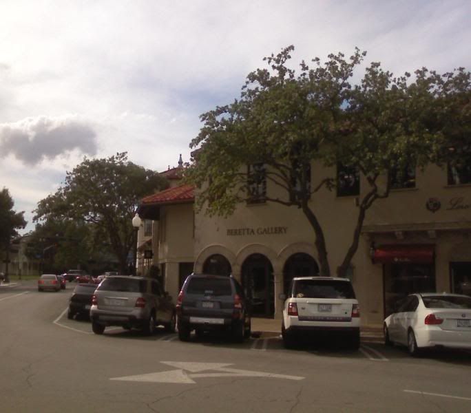
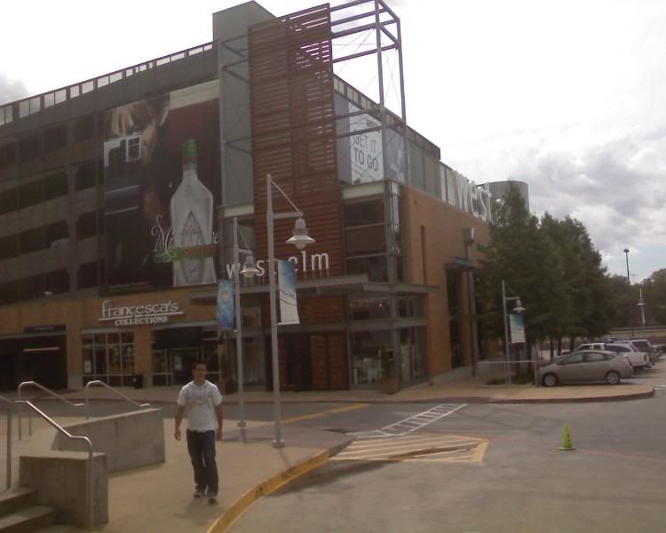
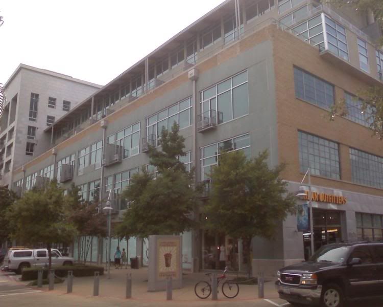
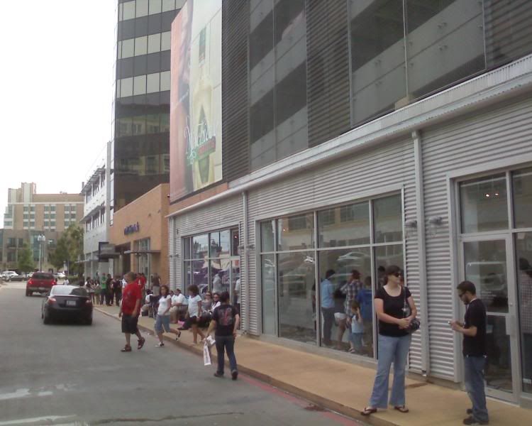
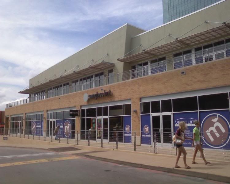
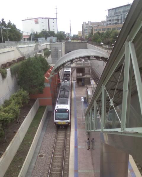
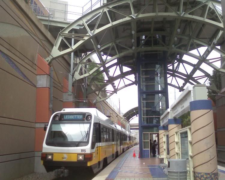
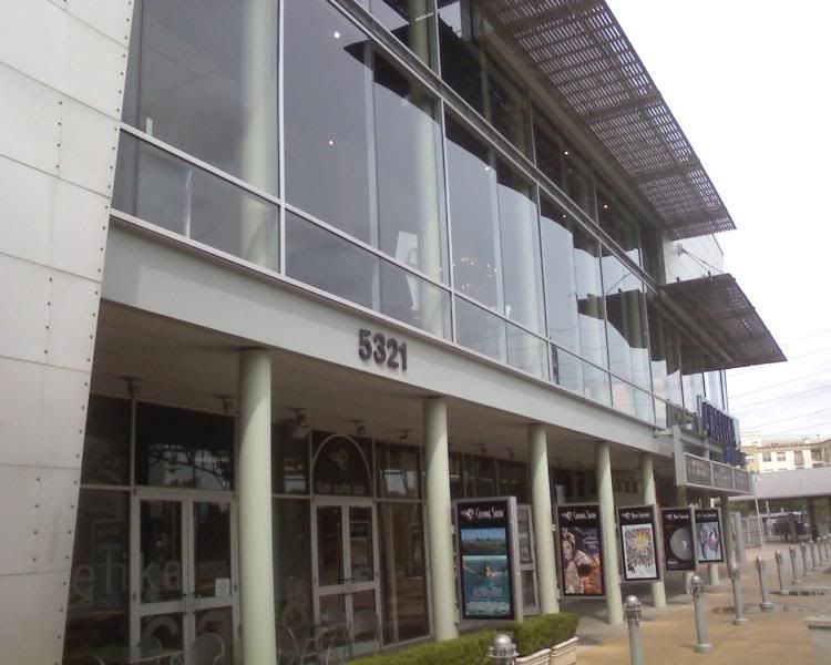
Recent trip to Dallas..I took more pics, they are posted on the forums. These are the more important ones. Just thought I would post some pics of shopping as it should be..as OKC and Tulsa lack. I hit up 4 places: the Dallas Galleria, NorthPark Mall (my favorite), Mockingbird Station, and Highland Park Village. All of these are in a close area in North Dallas. Mockingbird is the one that intrigued me the most, as it is the epitome of Transit-Oriented Development (TOD). Few cities have done TOD better than Dallas and Denver, to name two that have done it very well. I think suffice it to say, at every direction, Dallas has discovered how to develop sustainable shopping malls. One (Mockingbird) is new, and shows how to do it in the 21st Century, and another (HP Village) was done right in 1931 and has lasted ever since.

In Dallas, along the DART stations, there are various development projects built around the light rail station. They are in essence, a small oasis of urban activity like what you would see when you get off the Subway in NYC or DC, and they can be done anywhere there is light rail, whether it is in the shadow of a downtown skyline, or on the edge of a city..it makes no difference, because it is still connected to the same TODs that have been built up along a light rail line, at each of the stations.

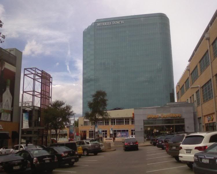
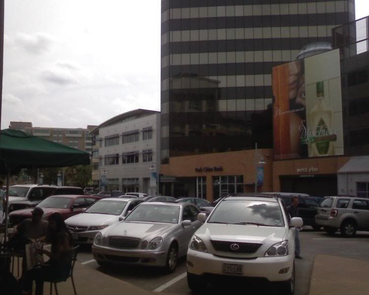
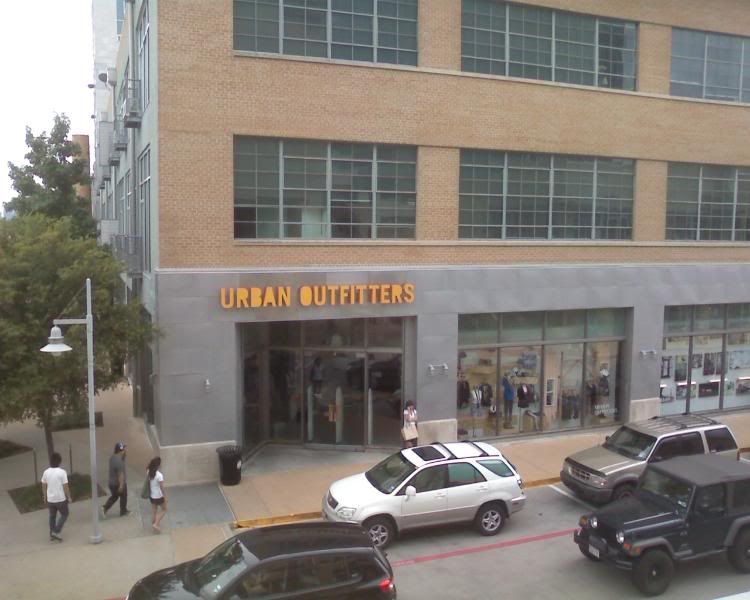
Mockingbird Station is a brilliant development that even has a lot of pedestrian life at 2.00 on a Thursday. It includes hundreds of lofts, a lot of corporate space, as well as a good restaurant/retail mix. There is an Angelika theater, with 4 screens devoted to independent cinema, retail tenants include Ann Taylor LOFT, American Apparel, Urban Outfitters, the GAP, and more. The subway station is directly adjacent to the development.

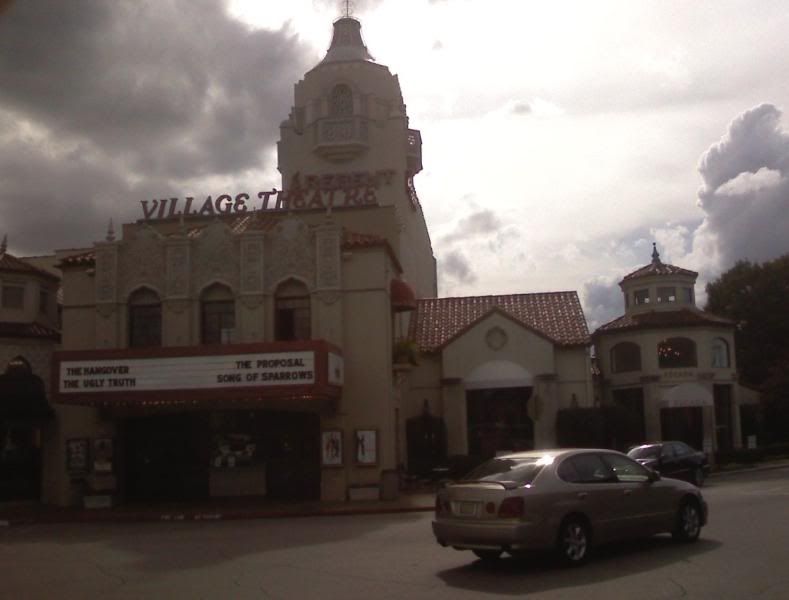
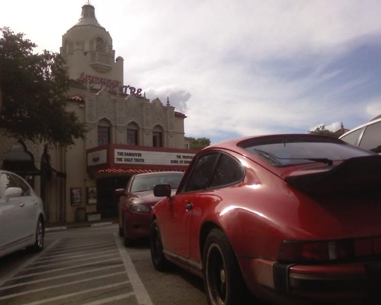
Highland Park Village, while not as exciting from an urban development standpoint, is still a great place, and probably my favorite place in Dallas to shop. Imagine a more high-end version of Utica Square in Tulsa, with tenants like Ralph Lauren, Rugby, Banana Republic, Cole Haan, and Scoop. Plus it includes a small, historic theater that still shows new releases.

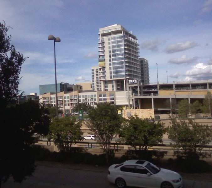
I also included a photo I shot of some of the new condos that went up at the NorthPark DART station in the last few months. I'm not very familiar with what all exists across the Central Expressway from NorthPark Mall, but it looks like it includes a Dick's Sporting Goods (far superior to Academy), and it looks pretty cool.

From the NorthPark parking garage, looking across US 75


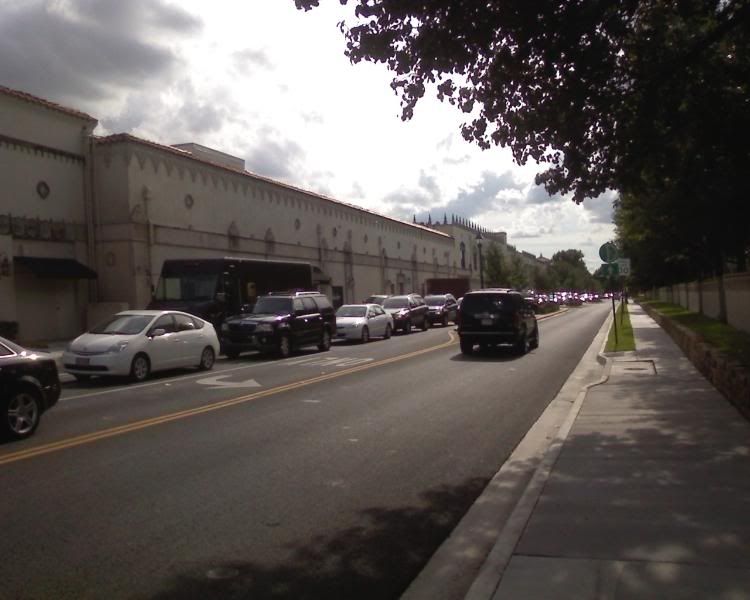
Highland Park Village


Mockingbird Station